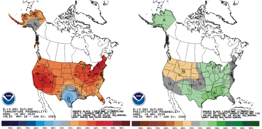
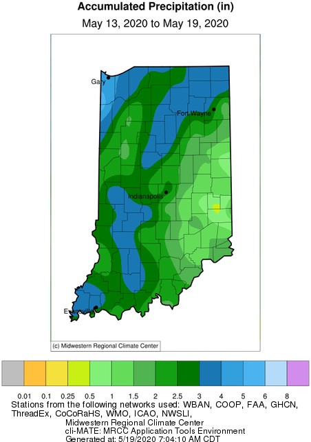
Two weekends ago, Indiana was facing freezing temperatures that broke numerous records across the state. This past weekend into early this week, the story has been lot of rain. As of the morning of Tuesday, May 19th, the northwest counties have received over 4 inches with a northwest to southeast gradient of decreasing amounts down to less than an inch along the Ohio boarder (Figure 1). Will these rains continue? The current forecasts and outlooks are predicting much less rain across the state over the next seven days (Figure 1) and only weak probabilities of above-normal precipitation into early June (Figure 2).
Regarding temperatures, the forecasts suggest normal and above-normal temperatures over the next week with high confidence of above normal temperatures continuing into early June (Figure 2). This should hopefully help growing degree-day (GDD) accumulations catch up to normal. To track how GDDs have been accumulating since April 1, April 15, and May 1, check out the Indiana State Climate Office website for these daily updated maps (https://ag.purdue.edu/indiana-state-climate/growing-degree-day-climate-maps/).
-
- Figure 1. Total precipitation amounts for the 7-day period representing May 13-19, 2020.
-
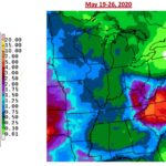
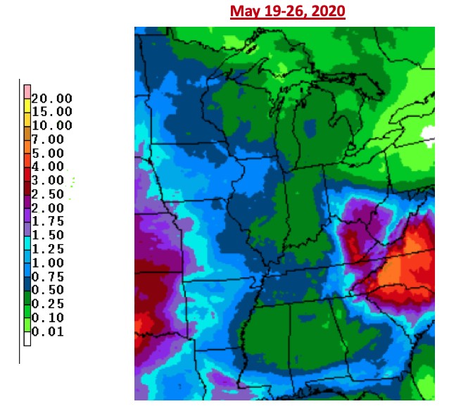
- Figure 2. Seven day precipitation forecast from that National Weather Service representing May 19-26, 2020.
-
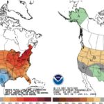
- Figure 3. The National Climate Prediction Center’s 8-14-day outlook for temperature (left) and precipitation (right) representing May 26 – June 1, 2020. Intensity of the shading indicates the probabilistic confidence of above/below normal conditions occurring.