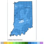
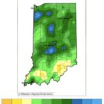
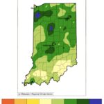
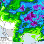
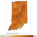
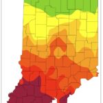
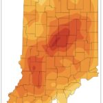
I have been seeing a lot of reports around the state about overly wet conditions with impacts such as running field tiles, high-leveled lakes and streams, field ponding, and difficulty getting into the fields for planting. It certainly feels likes it has been raining a lot around the West Lafayette area. Figure 1 shows how much rain has fallen since April 1st and indeed amounts over 10 inches seem high! To put this into climatological perspective, Figures 2 and 3 compare these amounts to the 1991-2020 period where most of the state has received 2 to 5 more inches of rain (125%-175% of normal) than what is typical for this time of year! The good news is this has kept Indiana clear of any drought or abnormally dry areas for several weeks, but a bit of drying out would be nice. Unfortunately, the 7-day precipitation forecast is predicting a more rain to come our way – particularly early next week (Figure 4). However, according to the national Climate Prediction Center, the climate outlook beyond that (for May 28 – June 5) is favoring near normal to possibly below-normal precipitation. I am hoping things return to “normal”, since our climate patterns over the past few decades seem defy “normal” and instead swing wildly from too much rain to too little in a relatively short period of time. We certainly do not want to see another rapid intensification of drought (i.e., “flash drought”) developing this summer!
Regarding temperatures, it is likely no surprise that conditions have been warmer than normal. Figure 5 illustrates how the average daily temperatures in May have been 4 to 7 degrees Fahrenheit above normal across much of the state (May 1 – 22). This has been well reflected in the accumulated modified growing degree-day maps since April 1st (Figures 6 and 7).
- Figure 1. Total precipitation (inches) from April 1 through May 22, 2024.
- Figure 2. Precipitation departure from normal (1991-2020 period) in inches for April 1 through May 22, 2024.
- Figure 3. Percent of normal (1991-2020) precipitation from April 1 through May 22, 2024.
- Figure 4. Forecasted precipitation amounts (inches) for May 23-30, 2024.
- Figure 5. Average daily temperature departure (degrees Fahrenheit) from normal (1991-2020 period) for May 1-22, 2024.
- Figure 6. Modified growing degree day (50°F / 86°F) accumulation from April 1 – May 21, 2024.
- Figure 7. Modified growing degree day (50°F / 86°F) accumulation from April 1-May 21, 2024, represented as the departure from the 1991-2020 climatological average.
