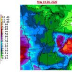
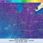
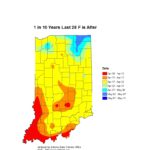
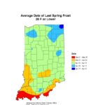
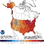
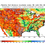
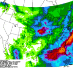
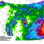
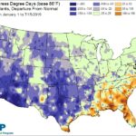
Two weekends ago, Indiana was facing freezing temperatures that broke numerous records across the state. This past weekend into early this week, the story has been lot of rain. As of the morning of Tuesday, May 19th, the northwest counties have received over 4 inches with a northwest to southeast gradient of decreasing amounts down[Read More…]
The earth’s position and movement around the sun welcomed the spring equinox on March 19th, and meteorologists in the northern hemisphere welcomed spring on March 1st. Unfortunately, the atmosphere – particularly over the midwestern and Great Lakes states – refused to acknowledge those dates to offer us a more traditional spring. Sure, Indiana’s spring 2020[Read More…]
The Climate Prediction Center’s outlook for May is dominated by uncertainty regarding both temperature and precipitation (Figure 1). The computer models could not settle on a consistent pattern for either above- or below-normal temperatures for the month and precipitation outlooks are only slightly confident that there will be above-normal precipitation in southern Indiana. Shorter-term outlooks[Read More…]
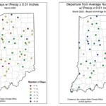
Staying true to global climate trends these days, March 2020 finished warmer and wetter than the 1981-2010 climate normal period. Snowfall across the state was below normal and localized flooding was a common feature. There were 3-to-5 more days than average in March where rainfall was observed (Figure 1). This has led to saturated soils[Read More…]
Over the past 30 days, southern Indiana has received above-average precipitation which has caused some flooding and well-saturated fields. Northern Indiana has received near-normal precipitation, yet there are localized areas of pooled water. Snowfall across the state has been below normal throughout the entire season, mostly due to temperatures staying above freezing. As the dormant[Read More…]
The initial cool wave of September is likely over as we welcome warmer temperatures for the next several weeks. The Climate Prediction Center is showing strong confidence for above-normal temperatures through September 24rd, which should help accumulate growing degree days and move agricultural production further along. Outlooks are showing significant probabilities for above-normal precipitation over[Read More…]
The big story this week was the much-needed rain throughout most of Indiana that fell on Monday (August 19th). Since August 15th, this brought up to 5” of precipitation throughout west-central, southwest, and northwest Indiana. This was 2”-4” above normal for the past 2 weeks! However, as we transition into September and hope temperatures stay[Read More…]
Even the climate models are confused by this year’s weather. When the August monthly outlook was released (July 31st; national Climate Prediction Center) it showed significant confidence that August would have below-normal temperatures and below-normal precipitation. However, the shorter-range outlooks (that update daily) the last few days, seem to contradict that prediction. Whether it is[Read More…]
8/1/2019 Beth Hall, PhD Director, Indiana State Climate Office The brief rain event earlier this week brought some precipitation to the state (Figure). However, the drier regions of the north could use more rain soon! Sadly, significant amounts of rain do not appear to be in the forecast for the next 7 days. Keep an[Read More…]
7/18/2019 Beth Hall, PhD Director, Indiana State Climate Office While the remnants of Hurricane Barry brought some much-needed precipitation to the state, the next few weeks look to be on the dry side. Temperatures are also expected to be warmer than normal, so heat stress may become an issue for plants and animals. The Midwestern[Read More…]

